This piece is based on a back-and-forth with a colleague at ArchBoston.
Corridor Spacing
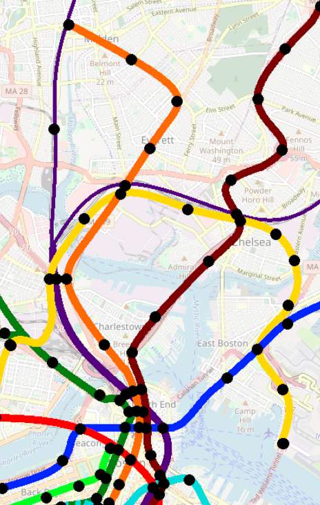
SL3 notwithstanding, the expanse between the Orange and Blue Lines is indeed a transit desert, and I think you could argue in favor of multiple radial services through here. From Wellington to Orient Heights is 4 miles; by comparison:
- Wellington to Harvard is 3 miles (which of course is halved by the GLX)
- JFK/UMass to Jackson Square is about 2.5 miles
- Even Jackson Square to Harvard — skipping over multiple radial corridors covered by the Green Line — is only 3.5 miles.
Three miles from the system center, the radial corridor spacing is generally about 2 miles, but there are even cases where it’s closer to 1 mile (depending on where you define your corridors to be):
- JFK/UMass <> Uphams Corner: >1 mile
- Jackson Square <> Huntington Ave/Brookline Village: 1 mile
- Brookline Village <> Packards Corner: 1.5 miles
- Packards Corner <> Harvard: 1.5 miles
- Harvard <> Union Sq: 1 mile
- Harvard <> East Somerville: 1.5 miles
So, yeah: if we use 2 mile spacing, that points to one corridor between Orange and Blue. But if we use 1.5 miles, that points to two corridors if not more.
One thing I’ll note from the examples above: the spacing between heavy rail corridors tends to be about 3 miles, with light rail corridors interspersed. So I think the question of how many corridors and where they go is impacted in part by the kind of service that is provided — which brings me to the next point.
Potential corridors: The “Two Broadways” and Route 1
The “Two Broadways” — in Everett, and in Chelsea/Revere — are natural transit corridors (which is reflected in their high frequency bus services). Providing grade-separated transit along them would require expensive tunneling or elevated. In between them, Route 1 cuts through the cityscape as a divided limited access highway.
Utilizing parts of the Route 1 ROW would potentially be less expensive and intrusive than subways under either of the Two Broadways. But would it go where people need it to? Well, it depends what kind of service runs on that ROW.
First, the 111 — the closest thing to a blueprint for radial service — actually adheres pretty close to Route 1:
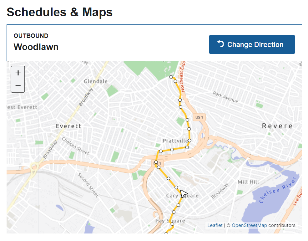
The biggest deviation is to Cary Square, which doesn’t get covered well by a Route 1 alignment — but I’ll note also doesn’t get served by a Broadway alignment either.
Now, the first thing to point out here is that the northern half of the 111 runs parallel to Route 1, but does so on a proper city street, as opposed to a highway ROW with that much less accessibility.
But, at the (very reasonable) three-quarter mile stop spacing you are proposing, a Route 1 alignment would probably only have stations at Woodlawn and Revere Beach Parkway-ish — both locations where a highway station walkshed would overlap pretty well with the bus route’s walkshed (particular with concurrent pedestrian access improvements). The local stops along Garfield and Sagamore Aves aren’t gonna be replaced by a rapid transit line either way. (What would happen likely is the 111 getting cut back to a transfer station in Chelsea, a la Dudley in the days of old, which would improve reliability on the route as a feeder service.)
And it’s a similar story to the south: after Revere Beach Parkway, you probably aren’t going to have any intermediate stops until you hit the commuter rail line (at which point the Route 1 alignment probably provides the best access to the current Bellingham Sq station, and affords a slightly long, but still viable, connection to the Chelsea commuter rail station).
So, yes: much of the Route 1 ROW is located away from density and development. But at key locations along the Route 1 corridor — the places where you’d put a station — its access is relatively favorable.
What kind of service for this corridor?
And this is where we come back to what kind of service this is: if it’s a Cambridge Subway-style route that is designed to link up transfer stations (e.g. to local routes along Park Ave, Revere Beach Parkway, Washington Ave) at high speeds, then I think the Route 1 alignment is a reasonable contender (and potentially one that could move this proposal into the realm of “vaguely possible”).
If, on the other hand, this is meant to be more of a Blue Line/Green Line-style route, where the radial service itself is providing the “local” service — akin to the Revere section of the Blue, or the Ashmont Branch — then I think you’re looking at closer stop spacing, and the Broadway routes become more favorable.
If we’re really dreaming big, though, I’d suggest an HRT line along the Route 1 corridor, with a pair of LRT lines along each of the Broadways. No idea where I’d connect the LRT lines to the south, but that’s an exercise for another day.
Or, if you wanted to dream even bigger, restore Orange Line service to Everett: